Google Pulled Its AI Satellite Tool in About a Day, and a Fake Iranian Reactor Is Why
Journalists generated a fictitious nuclear plant in Iran and a border scene. We looked at why satellite fakes are a different kind of problem.
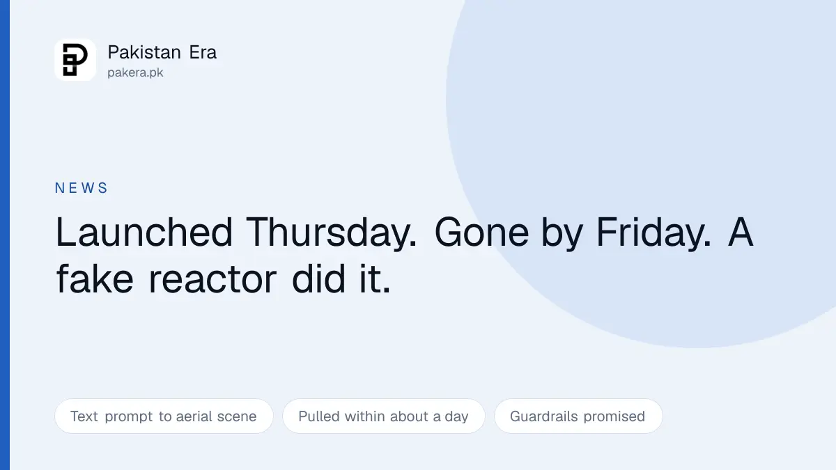
Google added a feature to Google Earth that turned a text prompt into a photorealistic aerial scene. About a day later it took it away again.
What happened in between is worth reading closely, because the people who broke it were not attacking Google. They were doing the obvious test, and the obvious test was enough.
What was built and what was made with it
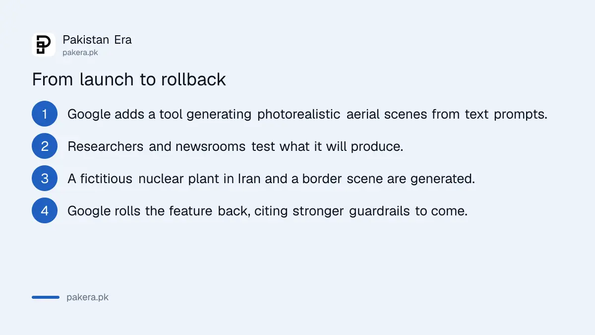
The tool generated photorealistic satellite style imagery from written prompts. Google says geospatial professionals were finding genuine uses for it, and that is entirely believable: visualising a proposed development, illustrating a scenario, showing what a site might look like after work.
Then investigative journalist Henk van Ess, along with newsrooms including NPR and Futurism, demonstrated the other half. Among the things generated were a fictitious nuclear power plant in Iran and imagery of refugees near the Mexican border.
Google rolled the feature back, saying it had seen shared screenshots of generated imagery that appeared to violate its policies, and that it is working on stronger guardrails.
The speed is the interesting part. This was not a slow scandal. It was a feature that could not survive its first weekend of contact with people who tested it properly.
Why fake satellite imagery is a different problem
We have all become somewhat used to fake photographs and fake video. Aerial imagery is a harder case, and it took us a moment to work out why.
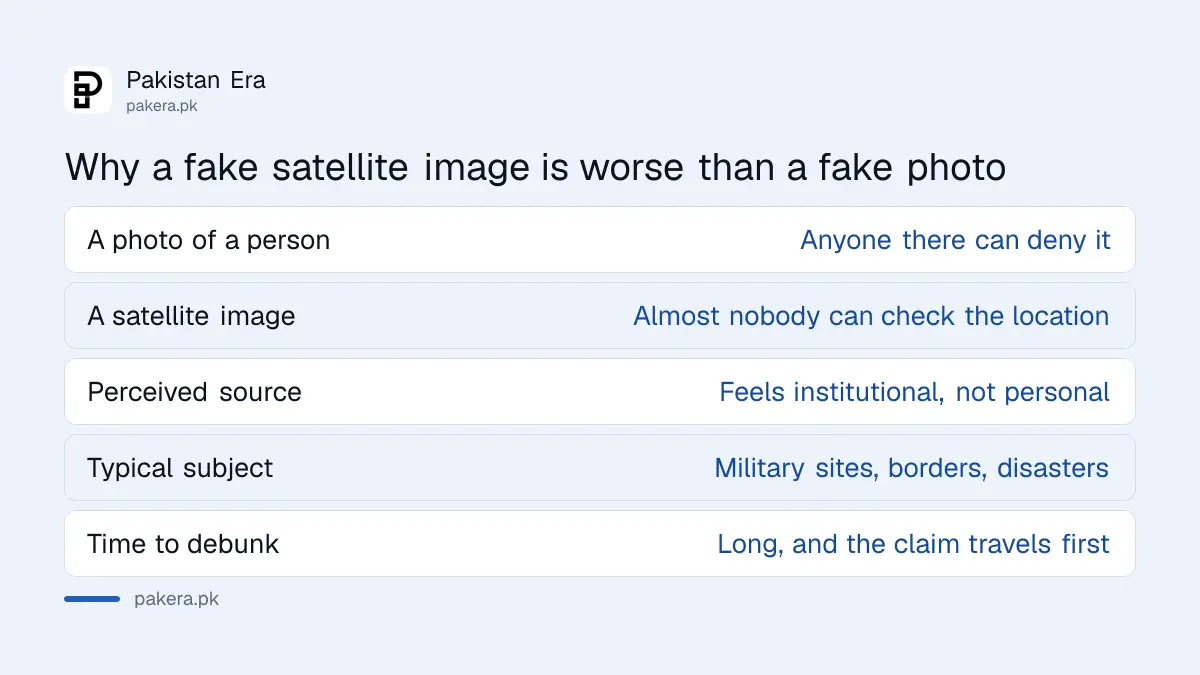
A fake photograph of a person can be denied by that person. A fake video of an event has witnesses. A satellite image of a facility in a country you cannot visit has neither. Almost nobody is in a position to check.
| Fake photo of a person | Fake satellite image | |
|---|---|---|
| Who can deny it | The person in it | Nobody accessible |
| Witnesses | Usually some | None |
| Feels like it came from | A person with a camera | A system with a sensor |
| Typical subject | Anything | Military sites, borders, disasters |
| Time to debunk | Hours | Days, if ever |
It also carries borrowed authority. A photograph feels like something a person took. A satellite image feels like something a system recorded, and systems feel neutral. That impression is doing a lot of work, and it survives even when the image was typed into a box.
And the subjects are never trivial. Nobody generates a fake satellite image of a car park. They generate military installations, border crossings, disaster zones and nuclear facilities, which is exactly the material that moves fastest and matters most.
Why this is not a distant story for Pakistan
Aerial imagery of borders and conflict areas circulates here constantly, on WhatsApp and on social platforms, usually with no source and no date attached.
During any period of tension, images claiming to show installations, strikes or troop movements spread within hours. Until now those were mostly real images being mislabelled, an old photograph presented as new, or a picture of one place captioned as another. Mislabelling is at least debunkable: the original exists and can be found.
An image with no original is a different problem. There is nothing to reverse search, and the absence of a match reads to most people as proof of exclusivity rather than proof of fabrication.
It is the same reflex the fake e challan messages rely on, and the same one behind the fake laptop scheme selections: something official looking arrives, and checking it feels like more effort than believing it.
How to check an aerial image before you pass it on
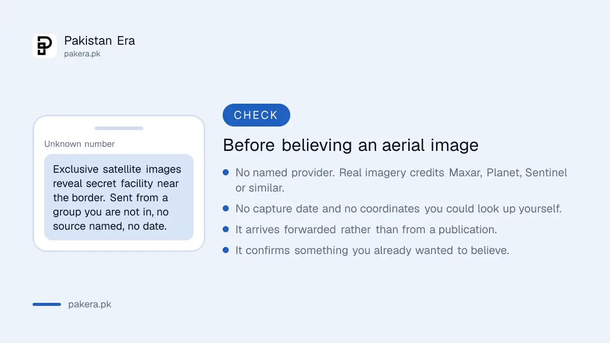
Four questions, and they take under a minute.
- Who supplied the imagery? Genuine satellite pictures in news reports are credited to a provider, usually Maxar, Planet Labs, Airbus or the European Sentinel programme. No credit is a bad sign.
- When was it captured? Real imagery has a date, often to the day. AI output has no capture date because there was no capture.
- Where exactly? A genuine image comes with coordinates or a place specific enough to check in Google Earth yourself. Somewhere near the border is not a location.
- How did it reach you? If it arrived forwarded, from a group, with no publication attached, treat it as unverified regardless of how convincing it looks.
The fifth question is the uncomfortable one. If an image confirms something you already believed, slow down. That is the condition under which everybody's judgement is worst, and it is the condition fabricated images are made for.
What we think Google got right and wrong
Wrong: shipping it. The failure mode here was not obscure. Anyone who has watched image generators for the last few years could have predicted that a satellite image generator would be pointed at a military site within hours, because that is what happens every single time.
Right: pulling it in a day. There is a version of this story where a company defends the feature, points at its terms of service, and waits for the problem to become somebody else's. Google did not do that. A fast rollback is unglamorous and it is the correct response.
The promised guardrails are where this gets decided. Blocking prompts that name sensitive sites is straightforward and easily evaded by describing rather than naming. The harder measures are visible watermarking and durable provenance metadata, so that a generated image announces itself as generated even after it has been screenshotted and forwarded eleven times. Whether that is what returns will tell you how seriously the lesson was taken.
Questions readers are asking
What did Google remove?
An AI feature in Google Earth that produced photorealistic aerial and satellite style imagery from text prompts. It was rolled back roughly a day after launch.
Why was it removed?
Google said it saw shared screenshots of generated imagery that appeared to violate its policies. Journalists had demonstrated it could produce a fictitious nuclear plant in Iran and scenes of refugees near the Mexican border.
Is it coming back?
Google says it is working on stronger guardrails. Nothing has been said about when, or in what form.
How can I tell if a satellite image is real?
Look for a named imagery provider, a capture date and specific coordinates. Genuine imagery in reporting carries all three. Anything forwarded without them should be treated as unverified.
Why are fake satellite images more dangerous than fake photos?
Because almost nobody can independently check a location they cannot visit, and because aerial imagery carries an impression of institutional neutrality that a personal photograph does not.
Does this affect ordinary Google Earth?
No. The rollback concerns the AI generation feature. Google Earth's actual satellite imagery is unaffected and remains real imagery from imaging providers.
Is AI generated misinformation a problem in Pakistan specifically?
The technique is the same one already running here in cheaper forms, from fake challan texts to fabricated government scheme selections. What changes with generated imagery is that there is no original to find, which removes the easiest way to disprove something.
About the author

Tax, Bills and Technology Writer
Ali Akhtar is a young and curious voice here at Pakistan Era. He is currently pursuing his A-Levels and has a growing interest in Pakistan’s changing industrial landscape and educational trends. Ali likes to write in a way that helps him explain and explore the world around him. His writing reflects the perspective of the new generation navigating the evolving trends of Pakistan where technology, youth innovation, and shifting opportunities are reshaping the country’s future.