Driving North This August: The NHA Advisory, the Documents, and the Rain Window
NHA has issued a travel advisory for the northern areas. What to check before leaving, the documents police actually ask for, and monsoon risk.
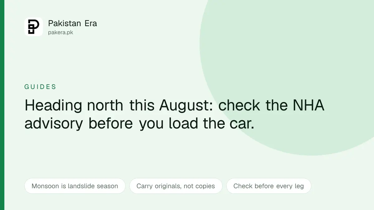
The National Highway Authority has issued a travel advisory for the northern areas, which lands in the middle of the season when half of urban Pakistan is planning a run to Hunza, Skardu, Naran or Kaghan.
August is the month those roads are busiest and least predictable at the same time. Here is the checklist worth running before you load the car, and the honest note about why this particular month carries risk the photographs never show.
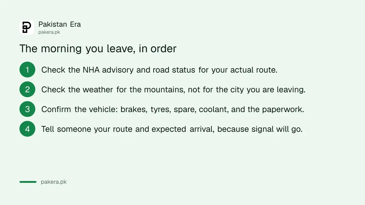
Check the advisory for your route, not in general
NHA publishes road status and advisories at nha.gov.pk, which we opened before writing this. We are not going to paraphrase today's road conditions into an article, and you should be suspicious of any guide that does: mountain road status changes within hours, and a blog post claiming a route is clear is describing a moment that has already passed.
What matters is the habit. Check the advisory for the specific highway you are taking, on the morning you travel, and again before each leg if you are going deep. The Karakoram Highway, the Naran and Kaghan approaches and the Skardu road all behave differently on the same day.
The two roads north, and the points that actually close
Telling you to check the advisory is not much use unless you know what you are checking. There are two main ways into Gilgit-Baltistan, and they fail in different places.
| Route | Runs | Where it closes |
|---|---|---|
| Karakoram Highway | Mansehra, Besham, Chilas, Gilgit, Hunza | Nullah crossings around Chilas, notably Gini, also called Altashi Nullah |
| Babusar route | Mansehra, Naran, Jalkhad, Babusar Pass, joins the KKH near Chilas | The Mansehra to Naran to Jalkhad road, and the pass itself |
| Skardu road | Gilgit to Skardu, after either route | Separate closures again, further on |
The important thing is how they interact. Both routes meet near Chilas. So a block at Chilas can shut your journey whichever way you came, while a block on the Naran side can often be bypassed by going the long way round on the KKH through Besham. Knowing which one is shut tells you whether you have an alternative or not.
These are not hypothetical points. In the first week of August 2026 the KKH was closed to all traffic at Gini after flooding and landsliding, the Mansehra to Naran to Jalkhad road was closed at several places after a temporary bridge at Lushi was damaged, and roads in Ghizer and Naltar were blocked as well. The KKH reopened a couple of days later. That is the normal rhythm of this month, not an unusual event.
Where to check, and what not to rely on
Use more than one source, because they update at different speeds.
- NHA at nha.gov.pk for highway advisories and road status.
- Police helpline 15, which is the number local authorities themselves point travellers to for real time road conditions. It is the fastest check on the morning you leave.
- Local road status trackers run for the Gilgit-Baltistan routes, which often carry a timestamped open or closed line per road.
One thing worth knowing so you do not waste time on it. NDMA's public advisories page is not a live road feed. We checked it while writing this and the most recent posted advisory was from 28 July, well behind the closures that followed. NDMA is useful for weather and flood warnings. It is not where you find out whether the Babusar road is open this morning.
Why August specifically
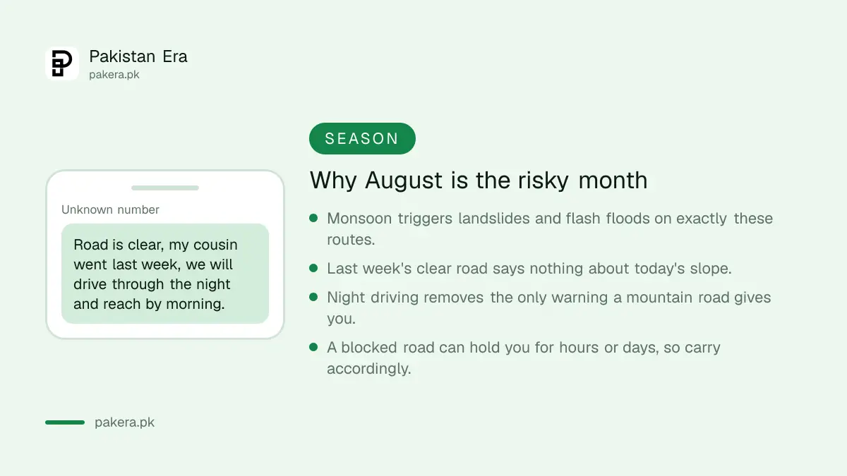
Monsoon. The rain that makes the valleys green is the same rain that loosens slopes above roads cut into them, and the two hazards it produces, landslides and flash floods, both arrive without a schedule.
The dangerous belief, and we hear it every year, is that a friend's clear run last week means anything about today. It does not. A slope that held through six weeks of rain can fail on the seventh, and a nullah that was dry all summer can run in twenty minutes after a cloudburst you cannot see from the road.
Two rules follow from that, and they are not fussiness. Do not drive these roads at night, because the only warning a mountain road gives, water across the surface, fresh debris, a changed shoulder, is visual. And build slack into the plan, because a blocked road holds you for hours or occasionally days, and the person who has to be back at work on Monday makes the worst decisions on Sunday evening.
The documents actually asked for
Checkposts on northern routes are routine and generally quick, and they are much quicker when everyone in the car has what is asked for.
| Carry | Why |
|---|---|
| Original CNICs, for every adult | Identity is verified against originals, not photocopies |
| Your driving licence, valid | Physically with you, not a photo on your phone |
| Vehicle registration | Shows the vehicle is legitimately in your hands |
| Permission for restricted areas | Some areas require it arranged in advance |
| Cash | Card acceptance thins quickly past the main towns |
Two checks worth doing before you leave rather than at a checkpost. Confirm the vehicle's papers are in order, which the Punjab vehicle verification guide covers for Punjab-registered cars. And clear any outstanding challans, because checking by CNIC takes two minutes and an unpaid one is a bad thing to discover far from home.
The vehicle, honestly assessed
Northern roads punish cars that are fine in the city. Long descents cook brakes, altitude thins power, and the surface varies from motorway to something that is technically a road.
Before leaving: brakes and brake fluid, tyre condition including the spare and the tools to actually change it, coolant, and a look underneath. A saloon car does most of the main routes fine in good conditions; the moment you are considering a rough side road to a lake, the question is ground clearance, and the honest answer is usually to hire a local jeep with a local driver rather than find out.
Fuel: fill up in the larger towns rather than gambling on the next stop having supply. Petrol has come down three days running, which we covered in the piece on why those cuts are so much smaller than the oil crash behind them, and the daily price page tracks the number if you are budgeting a long drive.
Connectivity, which will go
Coverage thins and then stops. Download offline maps before you leave, tell somebody your route and expected arrival, and agree when they should worry.
Local SIMs vary in reach along these valleys, and if you are relying on a phone for navigation and payments both, treat a power bank as equipment rather than a convenience. If your connection dies for a mundane reason rather than a geographic one, our fixes for a Jazz SIM and Zong SIM cover the usual causes, though the honest answer up there is often simply that there is no signal.
Questions readers are asking
Where do I check road conditions for the northern areas?
The National Highway Authority publishes advisories and road status at nha.gov.pk, and the police helpline 15 is the fastest check on the morning you travel. Local Gilgit-Baltistan road trackers usually carry a timestamped status per road. Do not rely on NDMA's advisories page for this, since it posts weather and flood warnings rather than live road status.
Which route should I take to Gilgit-Baltistan?
Either the Karakoram Highway through Besham and Chilas, or the Babusar route through Naran and Jalkhad. Both meet near Chilas. If the Naran side is blocked you can usually go the long way on the KKH, but a block at Chilas affects both.
Where does the Karakoram Highway usually close?
At nullah crossings around Chilas, most often at Gini, also written as Altashi Nullah. Closures there are common in monsoon and are often cleared within a day or two.
Is August a good time to travel north?
It is peak season and it is monsoon season at once. The valleys are at their best and the roads are at their least predictable, with landslides and flash floods the specific risks.
What documents do I need?
Original CNICs for every adult, a valid driving licence, vehicle registration, and advance permission for any restricted area on your route. Carry cash as well.
Can I drive at night?
You can, and we would not. Debris, water across the road and changed shoulders are hazards you see or you hit, and darkness removes the seeing.
Do I need a four wheel drive?
Not for the main routes in good conditions. For rough side roads to lakes and high valleys, hiring a local jeep and driver is usually both safer and cheaper than discovering your car's limits.
Will my phone work?
Intermittently, and then not at all. Download offline maps, carry a power bank, and leave your route and expected arrival with someone before you lose signal.
About the author

Public Services and Education Journalist
Fajr Riaz is a journalist and content writer at Pakistan Era, based in Lahore. She covers the questions people meet in everyday life in Pakistan: how a public service works, what a change in the rules means, and where to find a reliable answer.